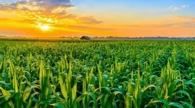
A paddock can grow decent pasture this season and still be sitting on problems that won’t show up until years down the track, problems most buyers walk straight past because nothing looks obviously wrong during a single visit. Valuing agricultural land properly means digging into the issues that stay invisible during a standard inspection, the sort of detail that separates a figure genuinely worth trusting from one that quietly falls apart once someone’s already committed to a purchase.
Salinity Builds Quietly Underground
Rising water tables carrying dissolved salts can degrade productive capacity over years without any visible surface symptoms until the damage has already progressed considerably, patchy dead pasture appearing only once salinity reaches a level that’s genuinely difficult to reverse. A valuer who skips checking historical water table data and salinity mapping for a region risks putting a healthy figure on land quietly heading toward serious decline. Valuing agricultural land with this risk properly assessed means consulting catchment authority records rather than relying purely on how green the paddock looks during a single site visit.
Contamination History Gets Buried
Former sheep dip sites, old fuel storage areas and historical chemical handling zones can leave contamination that restricts land use or requires costly remediation before certain activities become viable again, yet this history rarely appears anywhere obvious during a routine walk-through. Properties that changed hands multiple times sometimes lose track of exactly where these legacy sites sat, meaning a buyer inherits an undisclosed liability nobody flagged during negotiations. Checking historical land use records and environmental databases before finalising a valuation avoids inheriting a contamination problem that surfaces awkwardly during a later development application.
Carbon Projects Add Unexpected Value
Marginal land once considered barely worth farming can carry genuine value through carbon sequestration or biodiversity credit schemes, sometimes making previously unproductive country worth more locked into an environmental project than it ever was under conventional grazing. Valuing agricultural land without considering this alternative use potential misses a genuinely significant value driver on properties with substantial remnant vegetation or revegetation potential. Valuers unfamiliar with how these schemes work sometimes dismiss marginal land as simply low-value, missing an entirely separate income stream that’s reshaping how certain rural properties get assessed.
Processing Infrastructure Distance Matters
Proximity to grain terminals, saleyards or abattoirs affects a property’s practical value well beyond simple road frontage, since freight costs and logistics genuinely eat into farming margins the further produce needs travelling before reaching market. Two otherwise identical properties can carry meaningfully different value purely based on which one sits closer to relevant processing infrastructure, a factor that rarely gets proper weight in valuations focused purely on soil and rainfall. Buyers assessing land purely on production potential without checking this logistics angle sometimes discover the gap only once they’re already calculating ongoing freight costs against thin margins.
Historical Rainfall Data Is Losing Reliability
Valuers traditionally lean on decades of historical rainfall records to estimate a property’s reliable productive capacity, yet shifting climate patterns mean older records increasingly misrepresent what a region can actually expect going forward. Land valued purely against historical averages risks an inflated figure if rainfall reliability’s genuinely declining in that specific region, something requiring updated climate modelling rather than simply extending old patterns forward unchanged. Buyers relying on outdated assumptions about seasonal reliability sometimes discover the gap only after several genuinely disappointing seasons in a row.
Cultural Heritage Overlays Restrict Development
Properties containing recorded Indigenous cultural heritage sites carry specific obligations around consultation and protection that can significantly limit development or land-use changes, restrictions that don’t necessarily appear on a standard title search and instead require checking dedicated heritage registers separately. Land that looks straightforward for future subdivision or development can carry genuine constraints once these overlays get properly identified, changing the calculus considerably for buyers with specific development plans. Skipping this check entirely leaves a valuation figure resting on assumptions the land may not actually support.
Final Thoughts
None of this comes down to walking a paddock and applying a rough per-hectare figure based on appearance alone. Valuing agricultural land properly means checking salinity risk, contamination history and heritage overlays that a casual inspection will never reveal. Buyers and lenders who commission genuinely thorough assessments tend to avoid the expensive surprises that surface years later, precisely because the figure they relied on accounted for what actually sits beneath the surface.